See it in action
Two taps from “Where to?” to a lower-risk route.
A walkthrough of the real app — set a destination, compare routes, and see exactly which areas Tsamaya kept you out of.
From the latest build
Screenshots from the app
Captured on the iOS Simulator from the current Tsamaya build.
Annotated walkthrough
What you’re looking at
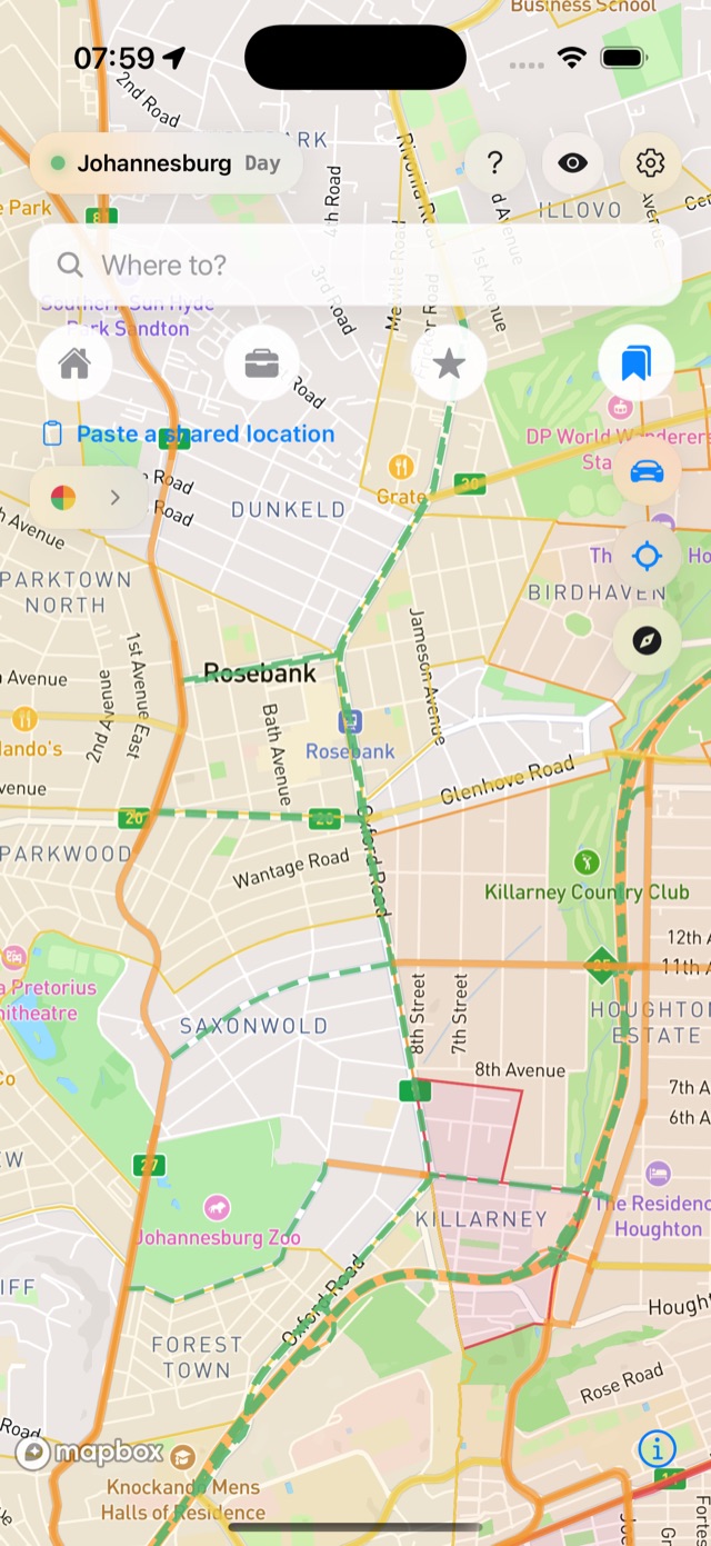
Home — the live risk map
Open the app and every active hotspot is on the map, colour-coded by severity for the current time of day. Tap the eye to toggle the overlay; tap “Where to?” to begin.
- High risk
- Elevated
- Caution
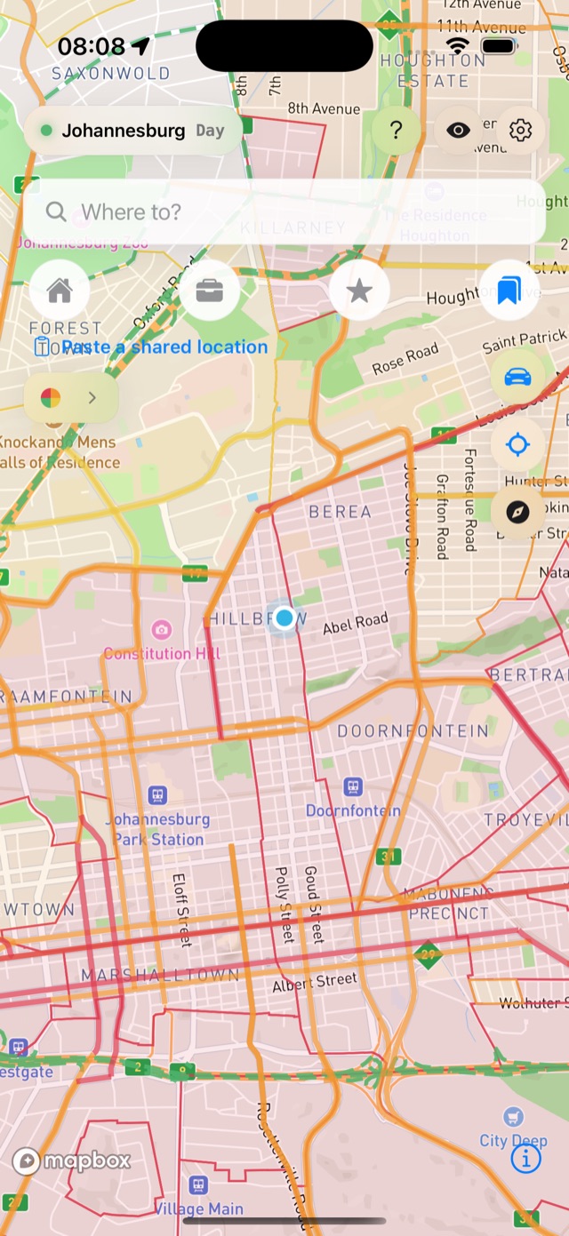
Set From / To, then Go
Your start defaults to your live location; the destination is whatever you searched, tapped or pinned. Swap them in one tap with the ⇅ button, then press Go.
Compare & see what was avoided
Tsamaya shows the lower-risk route beside the direct one — distance, time and the exact risk areas it steered you around. Start the in-app turn-by-turn drive, or hand off to Google Maps with the bypass waypoints baked in so it follows the lower-risk line — not its own.
Honest note on this build
Tsamaya is in active beta. The screens above are from the current build; the interactive mockups mirror the same UI and brand. Risk data is curated and improving constantly — routes weigh known risk, they don’t guarantee safety, and you should always stay aware on the road.
Try it yourself.
Tsamaya is rolling out to testers through TestFlight. Request access and we’ll add you.